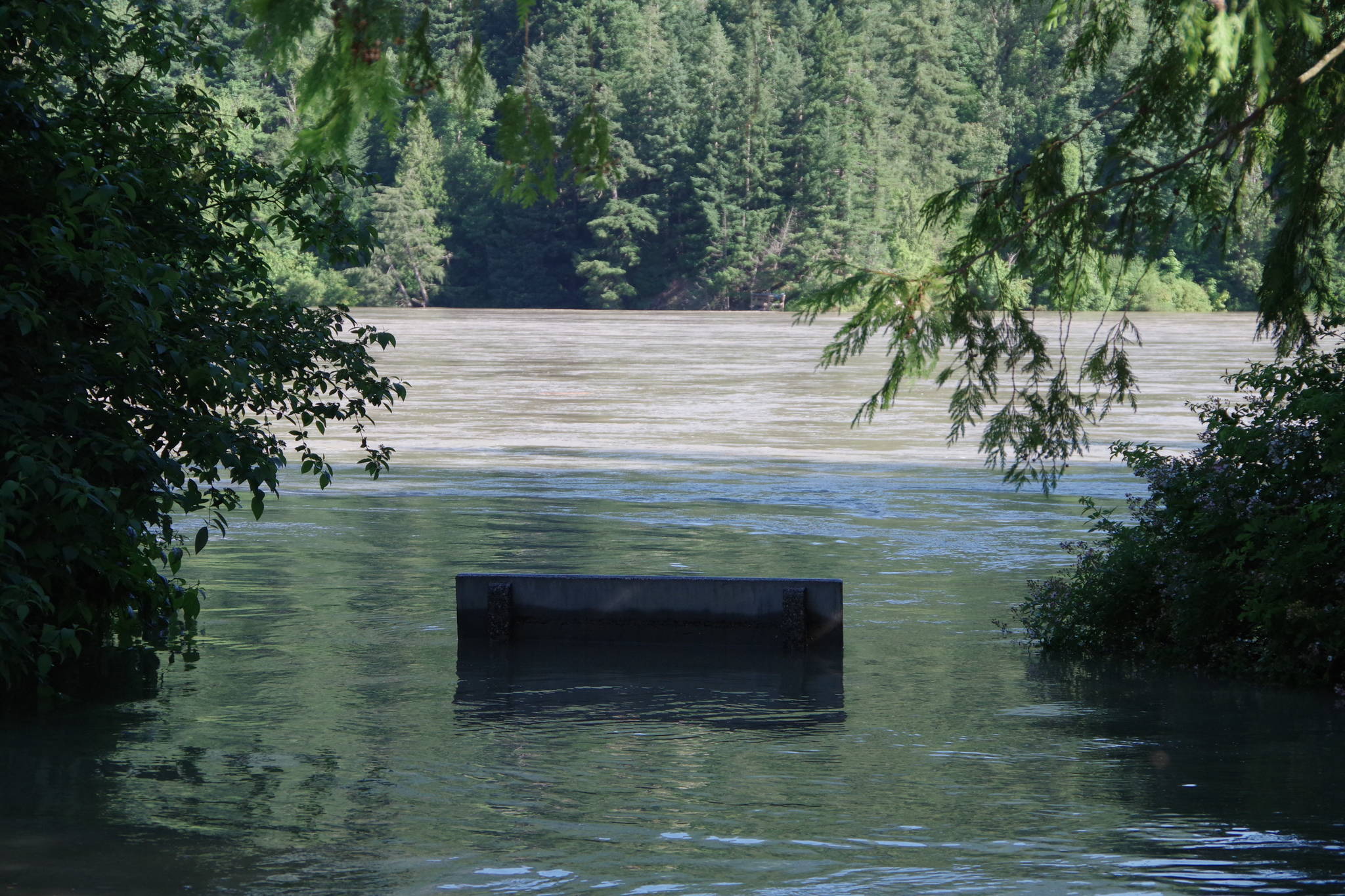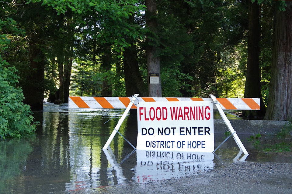
The district of Hope is warning residents of Wardle Street, Landstrom Road, Bristol Island and Haig Station that high water and seepage are possible as the Fraser remains high.
“Due to the forecast of heavy rains in the Fraser River watershed, the province…has advised the communities along the Fraser of a potential for extremely high flows in the coming days,” the district warned Tuesday. Rain is forecast for this evening through Thursday, with 25 millimetres forecast to fall on Wednesday and a lighter five to 10 millimetres Thursday.
The district’s emergency operations centre has been reactivated, it was previously active during the spring freshet that did not result in flooding in the area. Last week Wardle Street was closed between Allison and 7 avenues, as was the Rotary Trails, due to high water levels.
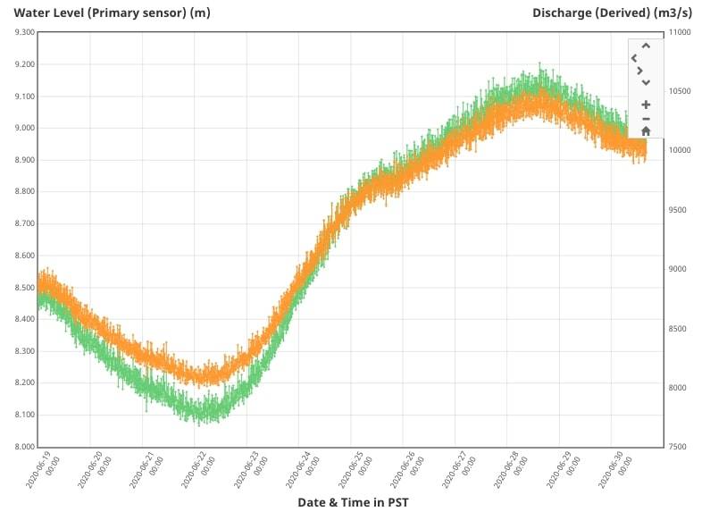
There is a gauge that measures the height (measured in metres) and amount of water flowing (measured in cubic metres per second) on the Fraser River at Hope. These levels have been steadily rising since June 22, peaking on Sunday (June 28) and dipping down slightly to Tuesday. As of 4 p.m. Tuesday, the gauge read 8.97 metres and 9,980 cubic metres per second.
See more: Real-time data from the gauge at Hope
Do you have something to add to this story, or something else we should report on? Email:
emelie.peacock@hopestandard.com
Facebook and follow us on Twitter