A special weather alert is in effect for Highway 3 from Hope to Princeton and Paulson Summit to Kootenay Pass, as well as the Okanagan Connector from Merritt to Kelowna.
According to Environment Canada, a weather system over southern BC will bring showers to the region today and Friday. Snow is expected as low as 1,300 to 1,500 metres elevation tonight but will rise back to 1,700 to 1,900 metres Friday afternoon.
Over Highway 3, from Paulson Summit to Kootenay Pass, showers will change to snow this evening with local amounts up to 15 cm near Kootenay Pass by Friday morning. Snow will taper off to a few flurries or rain showers Friday afternoon.
Over the Allison Pass, showers may change to flurries near the summit this evening with possibly up to 2 cm snow accumulation tonight.
Over the Okanagan Connector, up to 5 cm snow accumulations are possible near the summit tonight. Snow will taper off or change to rain showers Friday morning.
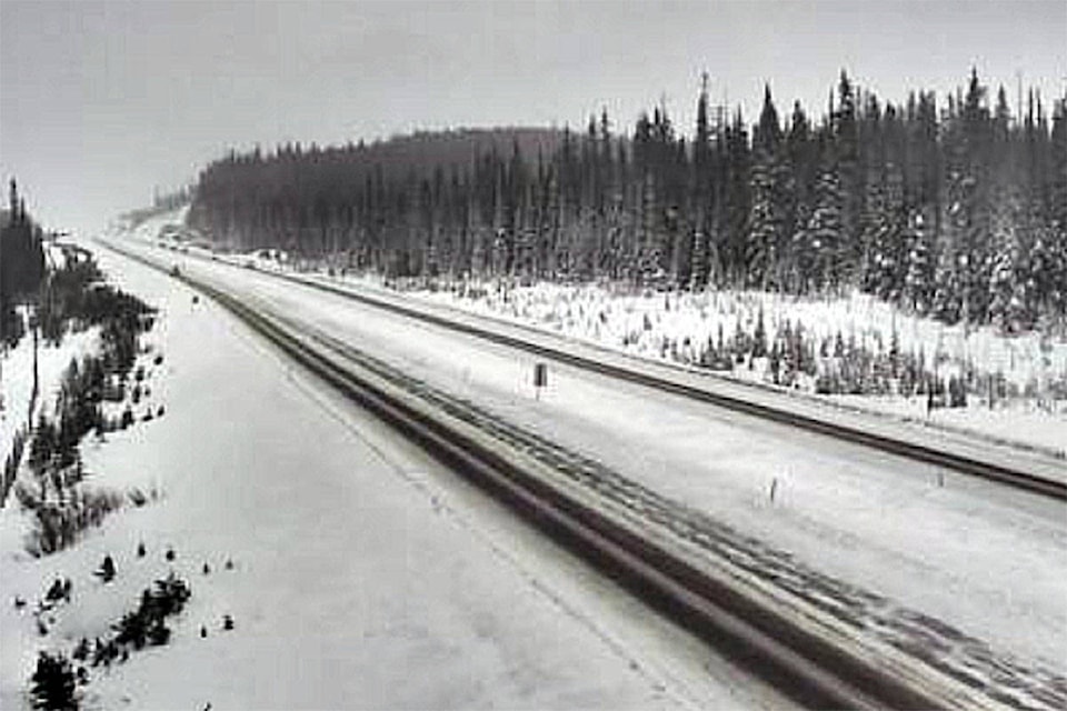
Weather in the mountains can change suddenly resulting in hazardous driving conditions. Travelers should be sure to monitor alerts at www.drivebc.ca.