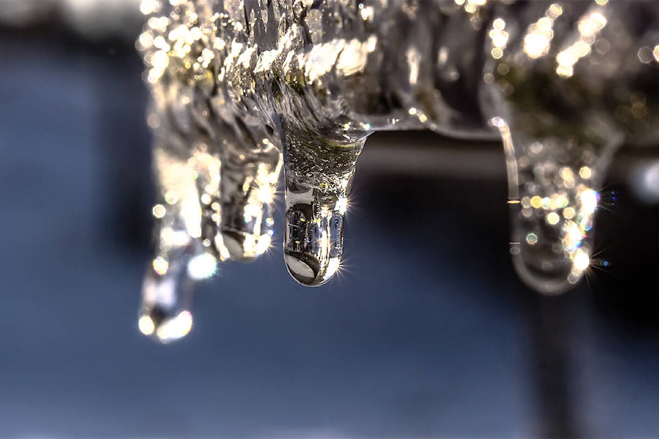
More snow and icy conditions are on the way for parts of the Fraser Valley and Lower Mainland for Tuesday (Dec. 6).
The snow will turn to freezing drizzle in some spots.
Another round of snow is forecast by Environment Canada in a special weather statement for the Fraser Valley from Chilliwack to Hope with nearly 10 centimetres of snow accumulation expected starting Tuesday. It will taper off into Wednesday, with slippery conditions expected.
West of Chilliwack however should see lighter snowfall accumulation, according to the Dec. 5 statement.
The Fraser Valley west including Abbotsford however is expecting “light snow and freezing drizzle” in patches for the Tuesday morning commute, with snowfall ranging from trace amounts, up to four centimetres of accumulation. Affected areas are Metro Vancouver, Abbotsford, Greater Victoria, Malahat Highway, Sunshine Coast, eastern Vancouver Island, Port Alberni, Lake Cowichan, Duncan, and southern Gulf Islands.
“The recent cold weather has primed the south coast for low elevation snowfall,” according to the statement.
The next Pacific system will move in Wednesday night. Rain is expected at lower elevations. Snow is more likely over higher terrain.
RELATED: Schools were closed due to icy conditions last week
Do you have something to add, or a story idea? Email:
jennifer.feinberg@theprogress.com
@CHWKjourno
Like us on Facebook and follow us on Twitter.